
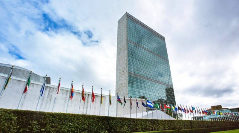
The United Nations adopts a resolution to revise the world map
The United Nations General Assembly has adopted a new international resolution calling for the promotion of a more accurate and balanced representation of continental sizes on world maps, particularly in Africa, in a move described as aiming to address historical distortions in the cartographic representation of continents.
In a recorded vote by the General Assembly today, Friday, the resolution was supported by 107 countries and focuses on the issue of global mapping systems, noting that some widely used map drawings, particularly the Mercator system used to map the world, lead to a relative distortion of the size of regions far from the equator.
The text of the resolution states that the Mercator cartographic system, developed in the sixteenth century for maritime navigation purposes, is still widely used in educational, media, digital and official materials, regardless of the representation of land areas. The General Assembly also recognized in its new resolution that these distortions are not limited to the technical aspect of maps, but can also affect educational, cultural, geopolitical and economic perceptions of the size of continents. The resolution supports the use of the “Flat Earth” mapping system as an option that provides a more accurate representation of the size of continental masses and encourages Member States, international organizations and stakeholders to adopt flat area projections when accuracy of continental dimensions is important. The resolution also calls on UN agencies, including UNESCO, UNDP and the UN Committee of Experts on Geospatial Information Management, to work with the African Union and academia to develop better standards and practices in mapping and geospatial information. It also encourages countries to integrate critical education of cartographic principles into school curricula and to raise awareness of biases arising from map projections in educational and scientific institutions and the media. The adoption of the resolution comes after a group of African countries presented its project in August as part of a broader effort to increase the accurate representation of Africa in maps, educational materials and digital platforms. The resolution does not prohibit the use of the “Mercator” system for world maps, which is the traditional and common method, nor does it require countries to use the “flat earth” system, which is a modern method of mapping that aims to more accurately represent the actual areas of the continents.