

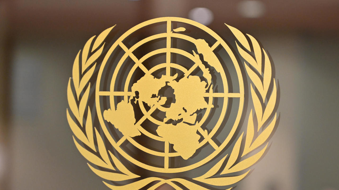
On Friday, the United Nations General Assembly approved a resolution aimed at changing the representation of continents on global maps to reflect the actual sizes of countries, as Africa appears larger and the United States shrinks.
The resolution submitted by Togo and the African Union with the support of France was supported by 164 countries, against one American opposition, and six countries abstained from voting.
The resolution calls on countries and international organizations to use the “cartographic equidistant projection” type of map drawings and instead abandon the “Mercatorian projection” named after the scientist and cartographer Gerardus Mercator, who invented this method in 1569 to solve a practical problem of marine navigation.
Because the straight lines on his map corresponded to fixed compass directions, sailors were able to use them to plot their courses. But maintaining direction came at the expense of space, and land masses appear larger the farther they are from the equator, which is why Greenland is about the size of Africa, even though the latter is about 14 times larger in area.
Also read100 decrees restricting their rights since the Taliban returned to power…UN calls for support for Afghan women.
Distortions of the Mercator diagram and their symbolic influence
The General Assembly resolution noted that these distortions contributed to the “symbolic miniaturization” of Africa and reinforced an unbalanced worldview. “Maps shape our understanding of the world,” Togo’s Foreign Minister Robert Ducey said in a speech to the General Assembly. “They guide education, shape imaginations, and influence collective perceptions.”
It is not necessarily neutral, because when it presents a distorted picture of our planet, it can perpetuate a wrong perception that is passed from one generation to the next.” Ducey stressed that the initiative “is not aimed at any country, civilization or particular tradition on the maps” but is “led by a global ambition to deepen knowledge based on scientific accuracy, respect for truth and peoples on equal dignity between them”.
Washington’s opposition position
U.S. Ambassador to the United Nations Jarina Verensevic believed that “such decisions and the ideological agenda they promote undermine the work of this institution and cause it to lose credibility,” adding that “instead of focusing on the real stakes of world peace, prosperity, and good relations between nations, this body is looking at maps dating back to the sixth century.”
Togo: Changing maps in schools this year
The Mercator map is still widely used in classrooms, but Togo hopes to revise school geography materials by the end of the year, becoming the first country to change geography textbooks and set an example, Togo’s Foreign Minister Robert Ducey told Reuters.
He explained that Togo will pressure other governments, schools, international organizations and technology companies to abandon the Mercator projection, which has been used for centuries, adding that the “flat Earth” projection provides the “best visualization” of the world. He noted that discussions about next steps should include companies that operate maps, GPS systems and other location-based technologies.
Dossey linked the campaign for the new map to wider African efforts to confront the legacy of the colonial era, while stressing that it is not directed at Europe or other civilizations. He said the widespread use of the Mercator map was one of the consequences of the colonial era, adding that “the world is changing and Africa is changing too.”
Togo’s Ministry of Foreign Affairs emphasized that the decision is not legally binding and that it “in no way calls into question the use of the Mercator projection for maritime and aerial navigation, for which it is entirely appropriate.”
