
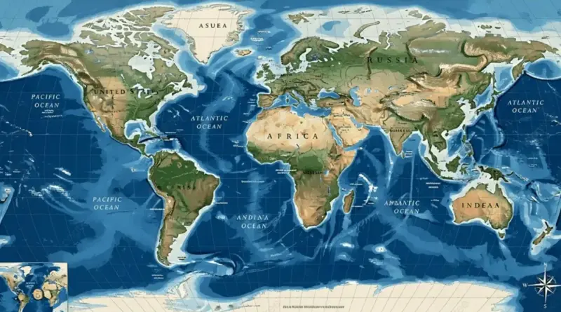
International resolution to correct the map of the world and promote a fair representation of the continents
Yesterday (Friday), the United Nations General Assembly adopted a resolution submitted by Togo calling for the correction of the world map, the restoration of balance in global cartographic representation and the promotion of fair depiction of regions, especially the African continent.
164 countries supported the resolution, only the United States of America protested, and six countries abstained: Estonia, Georgia, Lithuania, Moldova, Serbia and Ukraine.
Hereditary map disorders
The General Assembly affirmed in its resolution that historically inherited cartographic distortions of continental dimensions leave cognitive, educational, cultural, geopolitical, social and economic effects, and also reflect aspects of historical bias, given that their correction will enhance recognition, justice and development, especially with regard to Africa.
The decision pointed out that the “Mercator projection”, widely used around the world, distorts the representation of land masses far from the equator, causing Africa and other regions to be relatively small compared to their actual areas.
“Equality on land” is a more accurate alternative
The General Assembly declared that the “Land Flat” projection provides a more accurate representation of the dimensions of continental land masses and is an appropriate option for improving the accuracy of the cartographic representation of the world.
He emphasized the importance of promoting the use of cartographic representations of the Earth that are more accurate and scientifically sound.
Encouraging countries to adopt equal area maps
The resolution encouraged Member States, international organizations and other relevant parties to adopt, disseminate and use the “Land Equality” projection, in addition to equal-area cartographic projection methods, which more accurately reflect the actual areas of continents, especially in areas where dimensions are important.
Historical controversy about “Mercator”.
The Mercator projection is one of the most common mapping systems because it has shown the African continent to be much smaller than its true area over the centuries compared to other regions, especially North America and Northern Europe.
In 1569, the Flemish cartographer Gerardus Mercator, from what is now Belgium, invented this method to solve a practical problem with sea navigation, but it made land masses appear larger the farther they were from the equator.
The General Assembly resolution stated that these distortions contributed to the “symbolic minimization” of Africa and contributed to an unbalanced view of the world.
The United Nations General Assembly yesterday (Friday) adopted a resolution presented by Togo calling for the correction of the world map, the restoration of balance in global cartographic representation and the promotion of a fair representation of the regions, especially the African continent.
The resolution was supported by 164 countries, only the United States of America opposed it, and six countries abstained from voting: Estonia, Georgia, Lithuania, Moldova, Serbia and Ukraine.
Hereditary cartographic distortions
The General Assembly affirmed in its resolution that historically inherited cartographic distortions in the dimensions of continents leave cognitive, educational, cultural, geopolitical, social and economic impacts, as well as reflect aspects of historical bias, given that their correction will enhance recognition, justice and development, especially in Africa.
The resolution notes that the “Mercator projection,” widely used around the world, distorts the representation of continental land masses located away from the equator, causing Africa and other regions to appear smaller than their actual areas.
“equal area” projection as a more accurate alternative
The General Assembly declared that the “equal area” projection provides a more accurate representation of the dimensions of continental land masses and is a suitable option for improving the accuracy of the cartographic representation of the world.
He emphasized the importance of promoting the use of cartographic representations of the Earth that demonstrate greater accuracy and scientific integrity.
Encouraging countries to adopt equal territory maps
The resolution called on member states, international organizations and other relevant entities to adopt, disseminate and use the “equal area” projection, along with methods of equal area cartographic projection that more accurately reflect the actual areas of continents, especially in applications where dimensions are important.
Historical Debate on “Mercator”
The Mercator projection is one of the most common mapping systems that has depicted the African continent as its actual size relative to other regions, particularly North America and Northern Europe, for centuries.
In 1569, the Flemish cartographer Gerardus Mercator, from what is now Belgium, developed this method to solve a navigation problem; However, the larger the land masses appear, the farther they are from the equator.
The General Assembly resolution noted that these distortions contributed to the “symbolic diminution” of Africa and reinforced an unbalanced view of the world.