

sweeteners
110
Doha – Al Sharq website
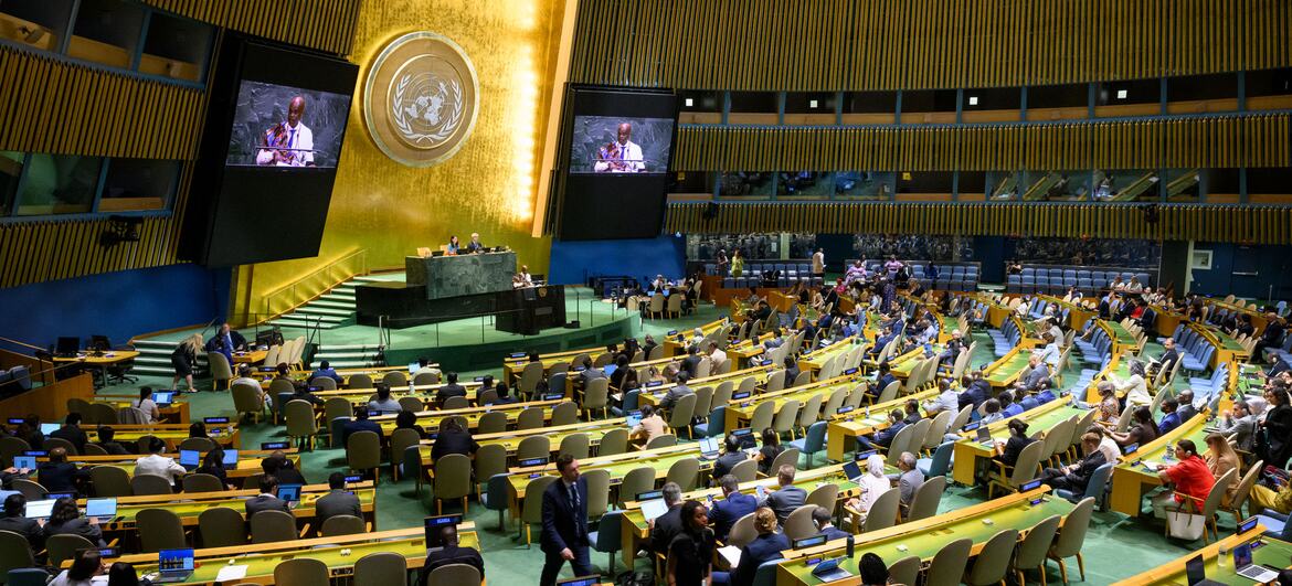
The UN General Assembly adopted a resolution to revise the world map, restore balance to global cartographic representation and promote fair representation of regions, especially Africa, with 164 members in favor, one member against, and 6 abstentions.
The draft resolution submitted by Togo was opposed by the United States, while Estonia, Georgia, Lithuania, Moldova, Serbia and Ukraine abstained from voting.
In its resolution, the General Assembly affirmed that the “cartographic distortions of the size of the continents” inherited from history have cognitive, educational, cultural, geopolitical, social and economic impacts and constitute historical biases, noting that correcting them would enhance recognition, justice and development, particularly with regard to Africa.
The General Assembly recognized that the “Mercator projection”, which is widely used around the world, distorts the representation of landmasses far from the equator, resulting in a relative reduction in the size of Africa and other regions.
He announced that the “Earth Equilibrium Projection” provides a more accurate representation of the size of continental land masses and is a suitable option for improving the accuracy of the cartographic representation of the world, emphasizing the need to strengthen the cartographic representation of the Earth characterized by greater accuracy and scientific integrity.
It encouraged Member States, international organizations and other relevant entities to adopt, disseminate and use “equal area projection” and iso-territory cartographic projection methods that more accurately represent the actual areas of continents where their dimensions matter.
The “Mercator projection” is one of the most common mapping methods, and for centuries it has shown the African continent to be much smaller than its true size, compared to other regions of North America and Northern Europe.
In 1569, Gerardus Mercatori, a Flemish cartographer, created this projection to solve a practical problem related to sea navigation. Because the straight lines on his map corresponded to fixed compass directions, sailors were able to use them to plot their routes.
But the preservation of the direction came at the expense of the accuracy of the representation of space; Land masses appear larger the farther they are from the equator. For example, Greenland may be similar in size to Africa, even though Africa is about 14 times larger.
Similarly, regions of northern Europe and North America appear much larger than regions near the equator.
Despite the projection’s original navigational purpose, Mercator is still widely used in educational, media, digital and official materials. The General Assembly resolution noted that these distortions contributed to the “symbolic miniaturization” of Africa and reinforced an unbalanced worldview.
Togo led the negotiations on the draft resolution on behalf of the African Group, based on a campaign supported by the African Union.
Togo’s foreign minister, Robert Ducey, emphasized that the effort was not aimed at condemning the “Mercator projection”, which he acknowledged was useful for navigation or establishing a single cartographic projection, saying: “A fair map does not change the geography of the world, but changes our view of it.”
On the other hand, the United States opposed the adoption of the resolution and voted against it, considering that there were deeper political motives behind this initiative.
The US delegate said: “This decision makes a mockery of the work and aims of this institution”, adding that what is presented as an attempt to modernize cartographic proportions is part of a “larger and radical ideological project”.
He pointed to the ruling’s references to compensation and “cognitive justice” and described these types of initiatives as “a hindrance to our work here and a cause of loss of credibility for this institution.”
It should be noted that equal-area maps do not increase the area of Africa, but eliminate the exaggeration in size that Mercator’s maps give to land masses near the poles.
Advertising space
